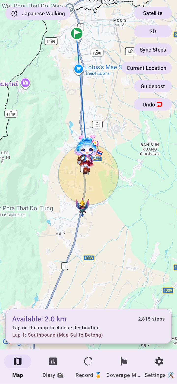
Thailand Walk Nomad turns your daily steps into a trip from Mae Sai, at the northern tip of Thailand, all the way south to Betong, near the Malaysian border. Pass real landmarks, collect badges and get friendly local comments from your guide, Arukyun, in English, Thai or both side by side. No GPS tracking, no ads, no sign-up.
Get it on Google Play
The app reads the steps recorded by your phone or wearable through Health Connect. You move across a real map of Thailand exactly as far as you have walked.
Your steps are collected automatically through Health Connect. There is nothing to type in.
The finish line is fixed, but the route is yours. Tap the map within your available distance and take as many detours as you like.
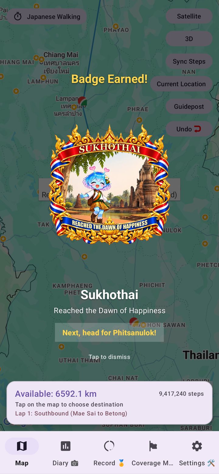
Reach a famous place to earn a badge and hear what Arukyun has to say about it.
Reach Betong, then turn around and start another lap back to the north, with a goal badge for every lap.
Built around real Thai geography, so every lap feels like a trip rather than a number.
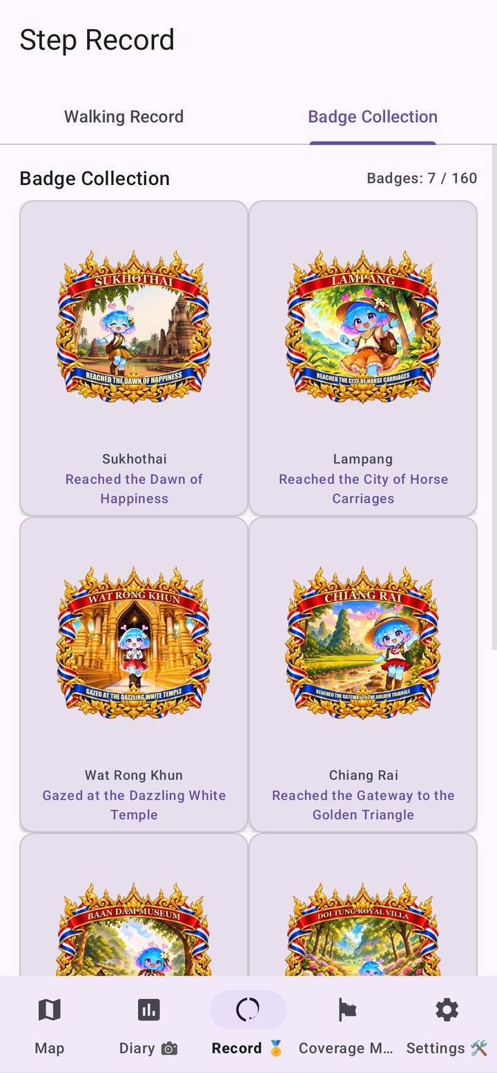
Arrive at a landmark and a badge pops up with the place's name and a title to match. The Golden Triangle, Wat Rong Khun, Doi Suthep, Sukhothai Historical Park, Ayutthaya, the Grand Palace, the Bridge on the River Kwai, Erawan Falls, Railay Beach and Phuket Old Town are among the stops, with around 145 badges in the collection.

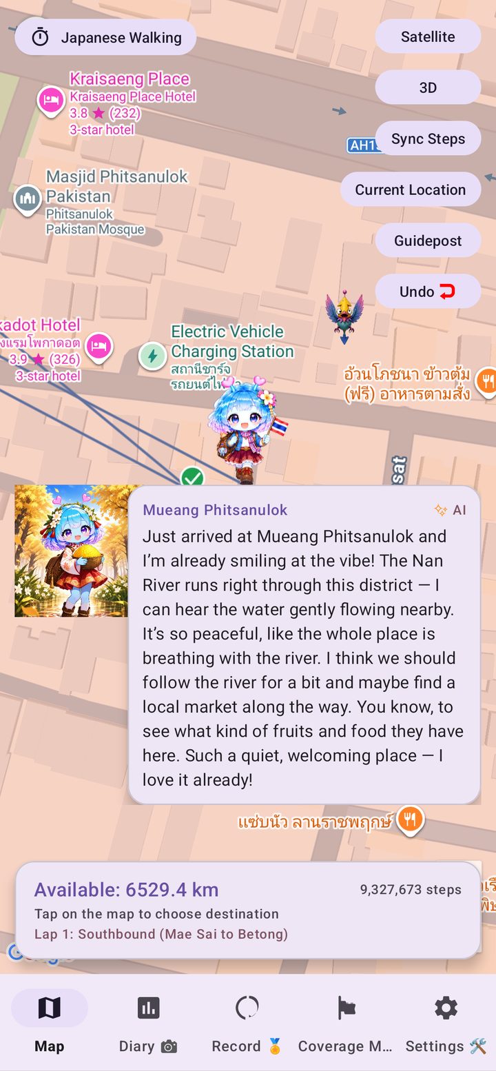
When you arrive somewhere new, your guide Arukyun shares a short comment about the area, so it feels like you are really standing there. Notes are prepared for all 987 districts on the map, in English and Thai, and you can show both languages side by side. They are marked as AI-generated.

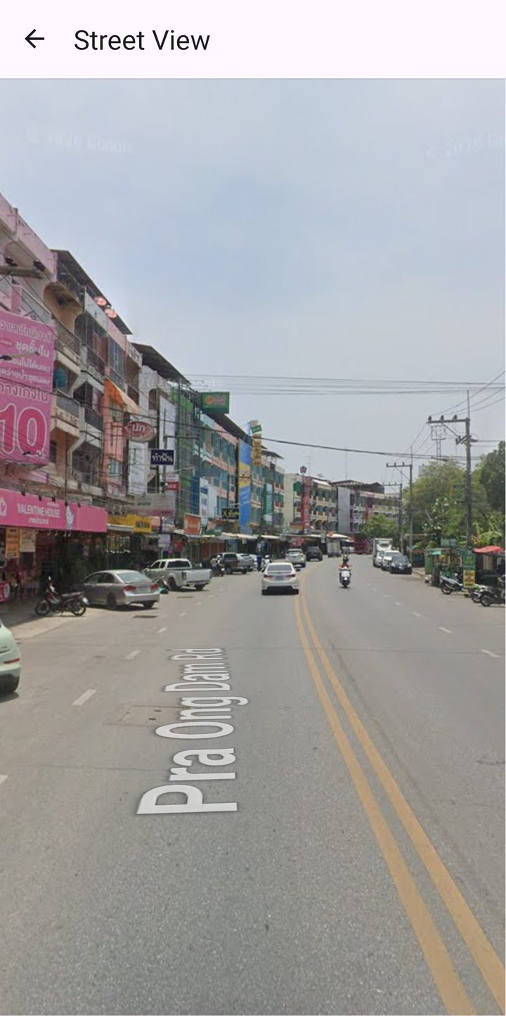
Curious what a place looks like? Open Street View from the spot you have reached and look around without leaving the app.

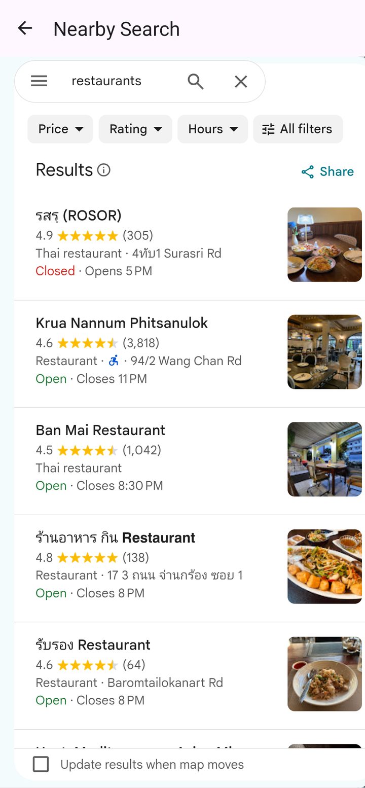
Tap your position and see what is around you on the route, such as cafes, restaurants, parks and sights, then open it in Google Maps. It is a handy way to plan the next stop on your virtual trip, or a real one.

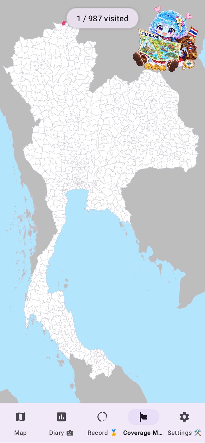
The Coverage Map fills in every district you have visited, from the districts of each province to the districts of Bangkok. Track how much of Thailand you have covered, and earn badges for each of the six regions of Thailand, then for the whole country.

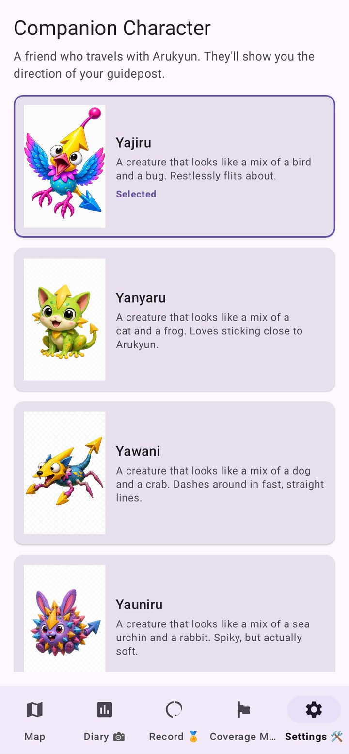
Choose who guides your way: Yajiru, Yanyaru, Yawani, Yauniru and more. Drop a Guidepost anywhere on the map and your companion will point the way.

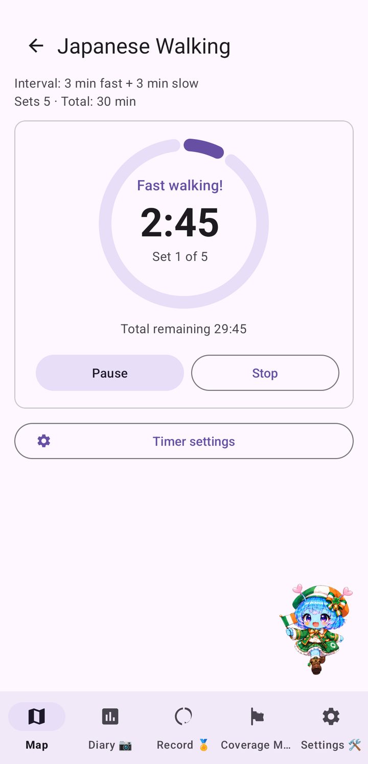
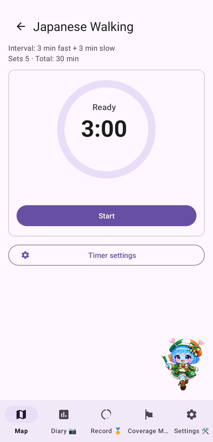
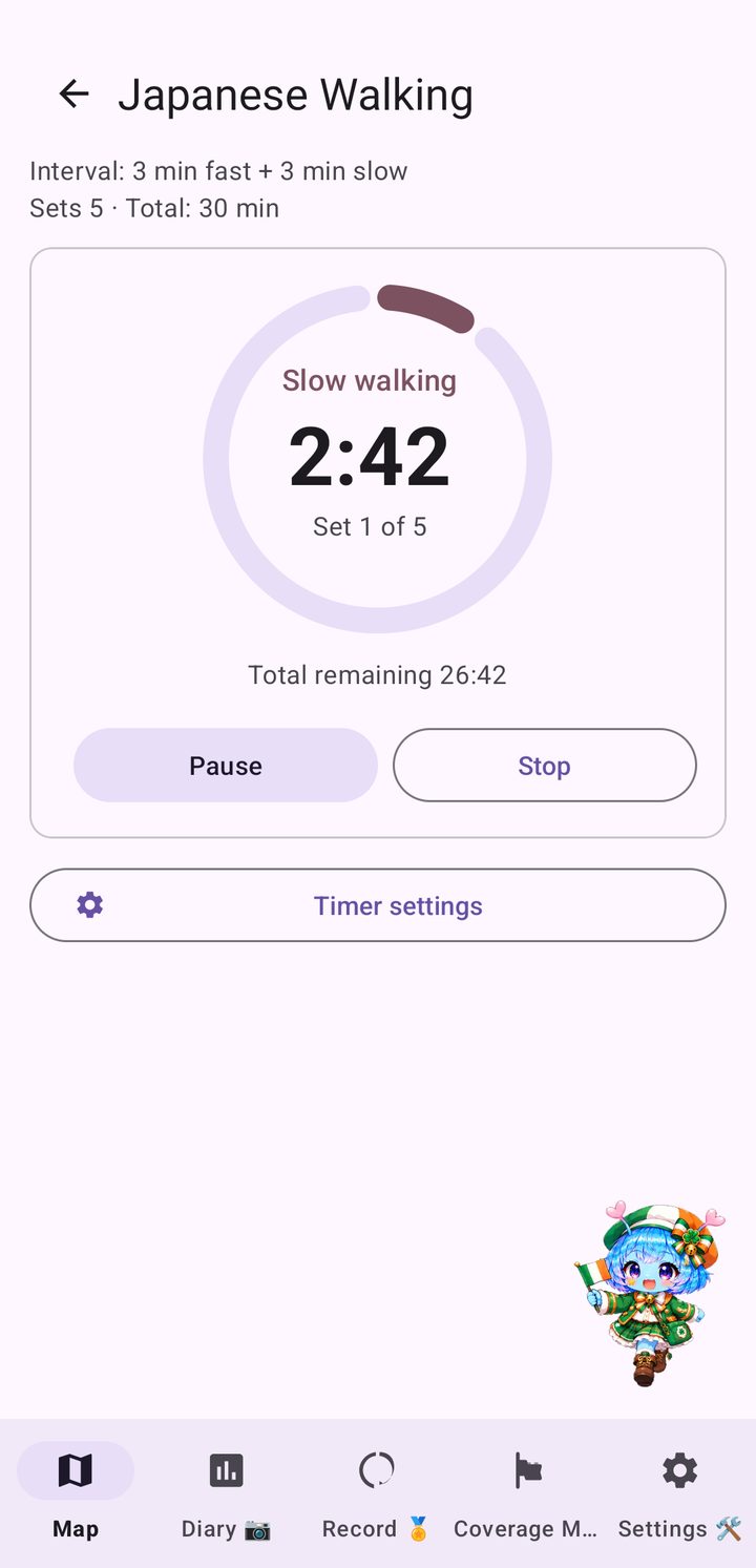
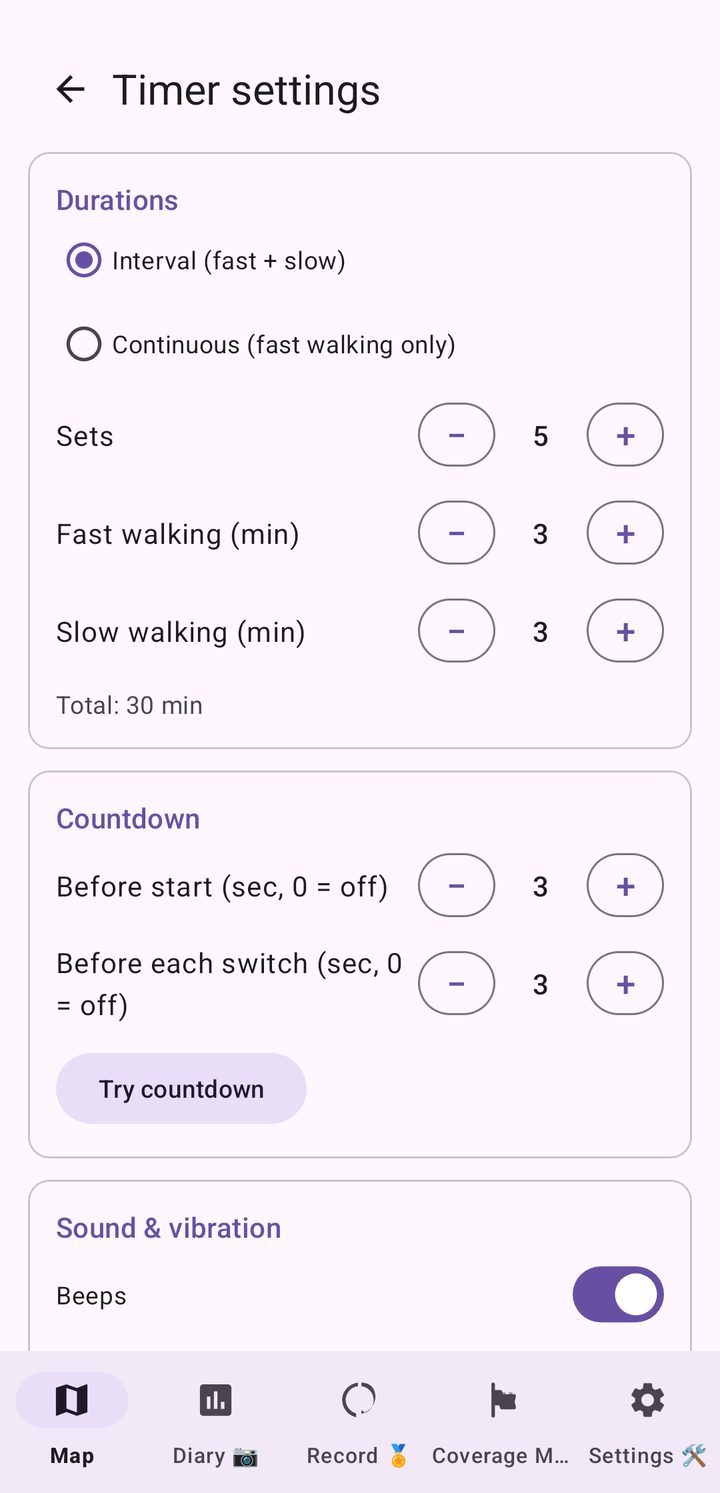
Japanese Walking is an interval walking routine that began in Japan: three minutes of fast walking, then three minutes of slow walking, repeated for a few sets. The built-in timer gives you a 3-2-1 countdown, a tempo beat while you speed up and a heads-up before each switch, and it keeps running with the screen off.
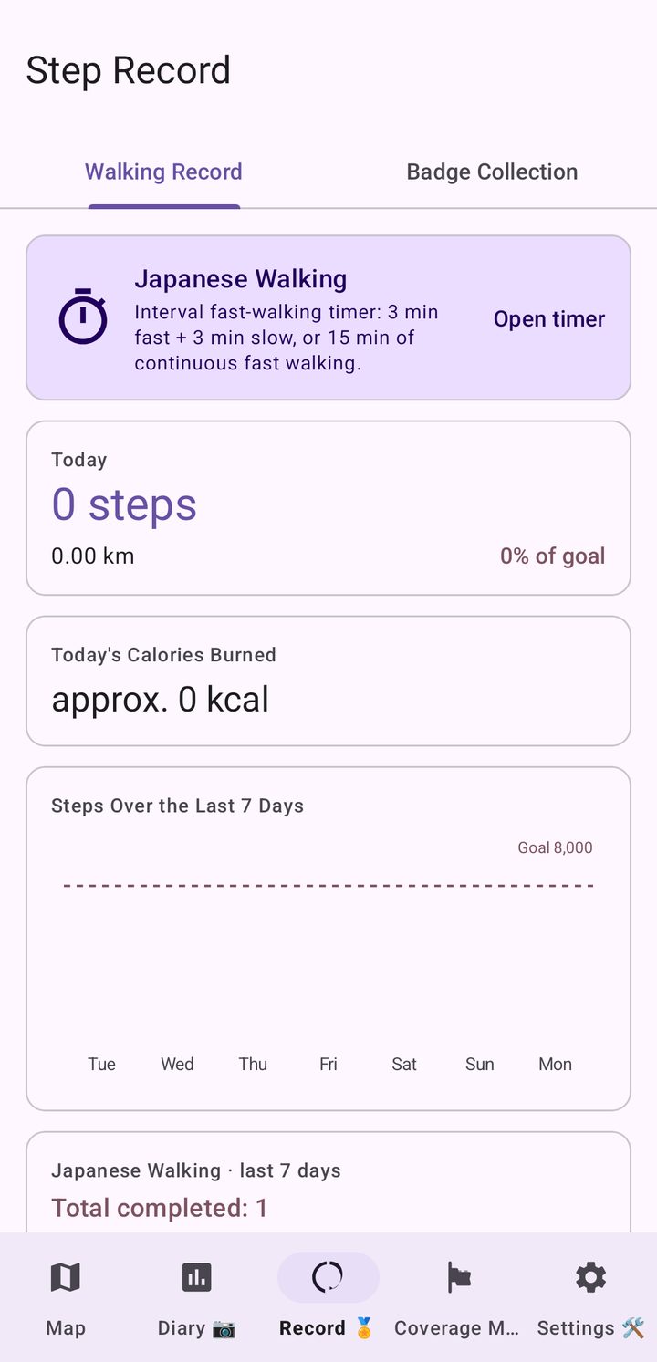
After each fast segment it compares your real step count with your target tempo, and a card in the Record tab shows the days you completed a session. Open it from the travel map or the Record tab. This is not medical advice: walk at a pace that suits your health.


Start your journey for free in the north of Thailand, where the route begins. When you are ready to walk on south to Betong, switch to the full route with a single purchase.
Prices are shown in US dollars (about 150 baht) and may vary slightly by region and exchange rate on Google Play.
It is an interval walking timer built into the app: 3 minutes of fast walking and 3 minutes of slow walking, repeated for several sets, or 15 minutes of continuous fast walking. You can change the number of sets, the durations, the countdown and the tempo sound in the timer settings, and the timer keeps running with the screen off. It is included at no extra charge.
No. Your position on the map is worked out from your step count, not from GPS. The app reads steps through Health Connect and moves you along the map by the distance you have walked. See How Health Connect works and your privacy for details.
Thailand Walk Nomad is an Android app. It needs Health Connect to read steps recorded by your phone or wearable.
Lap 1 runs southbound from Mae Sai, at the northern tip of Thailand, to Betong in the deep south near the Malaysian border, across mainland Thailand and Phuket. You choose your own path by tapping the map within the distance your steps allow, whether that is through the northern mountains, along the Mekong in Isan, or down the Gulf coast. After the goal you turn around and start a new lap north. Other islands are not included.
The app is free to download, and the free edition lets you travel freely across northern Thailand, from Mae Sai through Chiang Mai and Sukhothai to the area around Phitsanulok. Switching to the full route is a one-time purchase of US$3.90 (about 150 baht), with no subscription.
The app and its local comments are available in English and Thai. You can switch between them in Settings or show both side by side.
Distances are shown in kilometres by default. You can switch between kilometres and miles in Settings.
No ads and no sign-up are needed to use the app.
Yes. See all Walk Nomad apps, including France Walk Nomad, Japan, UK, Ireland, Italy, Korea, US East and US West.

Install Thailand Walk Nomad and start walking from Mae Sai.
Get it on Google Play