A walking app for Android

Every step you take becomes a journey down the West Coast.

US West Walk Nomad turns your daily steps into a trip from Cape Flattery, the northwesternmost point of the contiguous United States, all the way down to the Mexican border near San Diego. Pass real landmarks, collect badges and get friendly local comments from your guide, Arukyun. No GPS tracking, no ads, no sign-up.

Get it on Google Play
AndroidWorks with Health ConnectNo adsNo sign-up
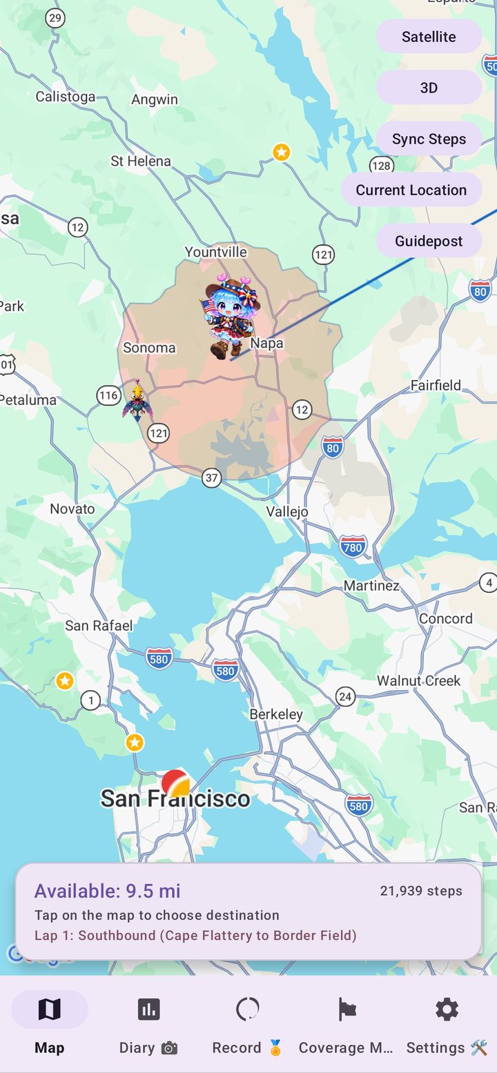
US West Walk Nomad travel map showing the movable range and the guide character Arukyun
How it works

Just by walking, you travel across the map

The app reads the steps recorded by your phone or wearable through Health Connect. You move across a real map of the United States exactly as far as you have walked.

1

Walk as usual

Your steps are collected automatically through Health Connect. There is nothing to type in.

2

Choose where to go

The finish line is fixed, but the route is yours. Tap the map within your available distance and take as many detours as you like.

3

Collect landmarks and badges

Reach a famous place to earn a badge and hear what Arukyun has to say about it.

4

Reach the goal

Reach the border near San Diego, then turn around and start another lap back to the north, with a goal badge for every lap.

Features

More than just a step counter

Built around real American geography, so every lap feels like a trip rather than a number.

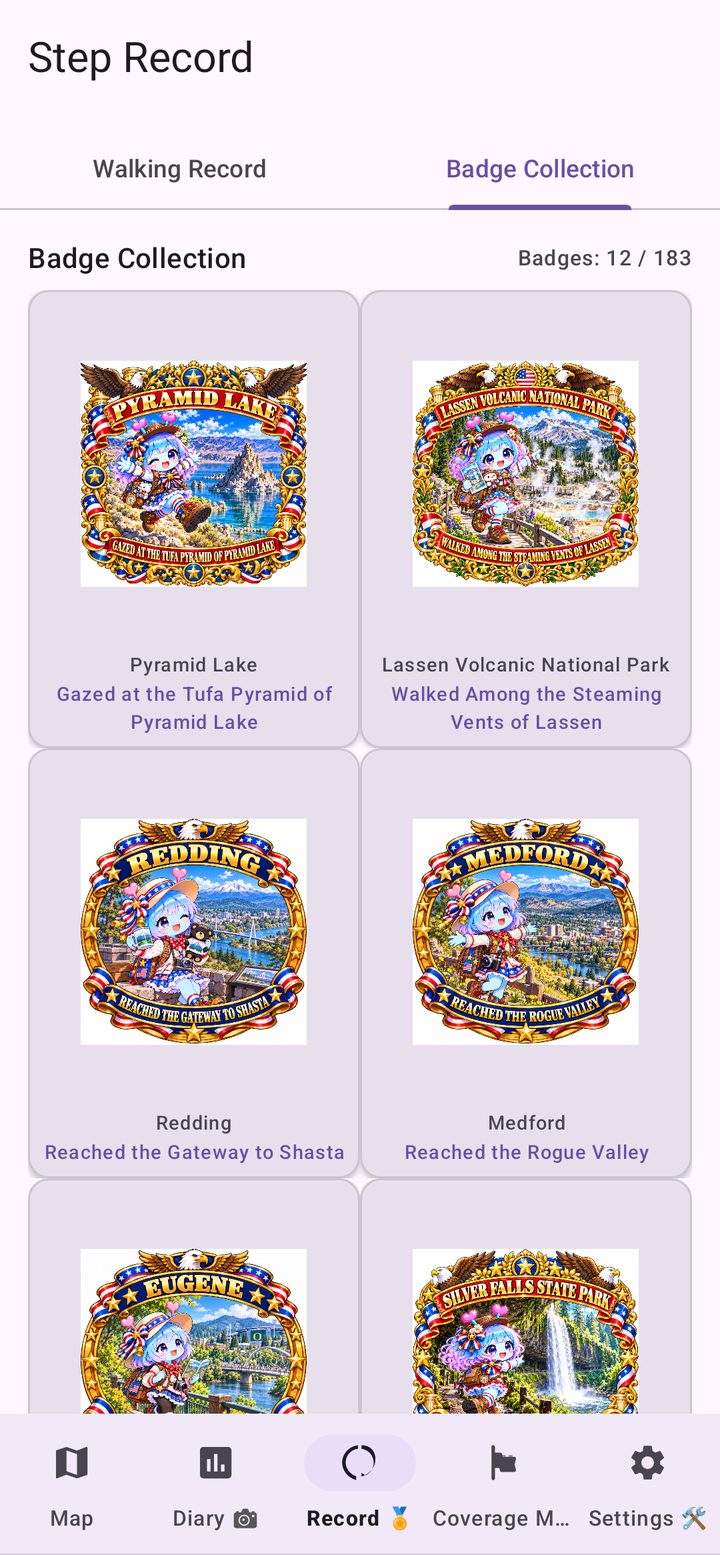
Collect badges from famous places

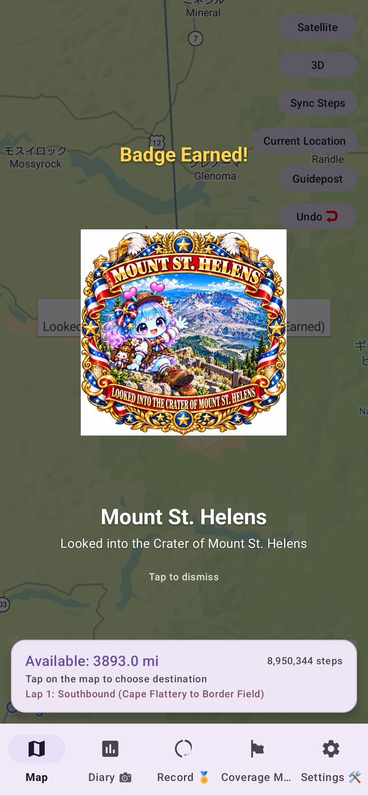
Arrive at a landmark and a badge pops up with the place's name and a title to match. The Space Needle, Mount St. Helens, Crater Lake, the Golden Gate Bridge, Yosemite and the Grand Canyon are among the stops, with 183 badges in the collection.

Badge Earned screen in US West Walk Nomad

Local comments from Arukyun

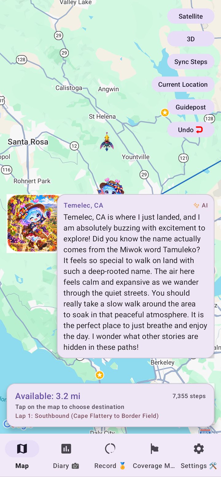
When you arrive somewhere new, your guide Arukyun shares a short comment about the area, so it feels like you are really standing there. Notes are prepared for thousands of cities, towns and local areas across the West, and are marked as AI-generated.

Arukyun's AI comment on arriving at a new place in US West Walk Nomad

Look around with Street View

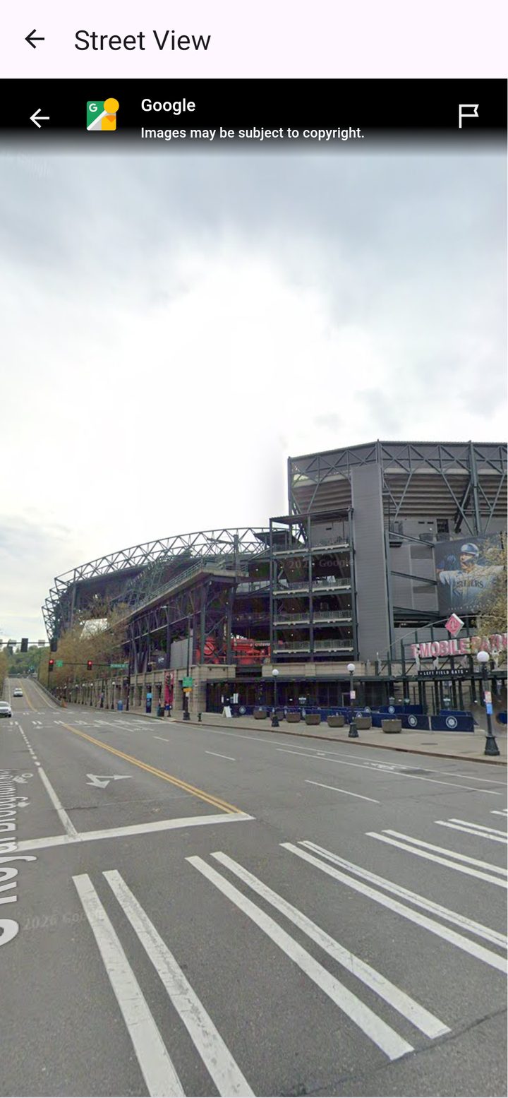
Curious what a place looks like? Open Street View from the spot you have reached and look around without leaving the app.

Street View inside US West Walk Nomad

Find somewhere nearby

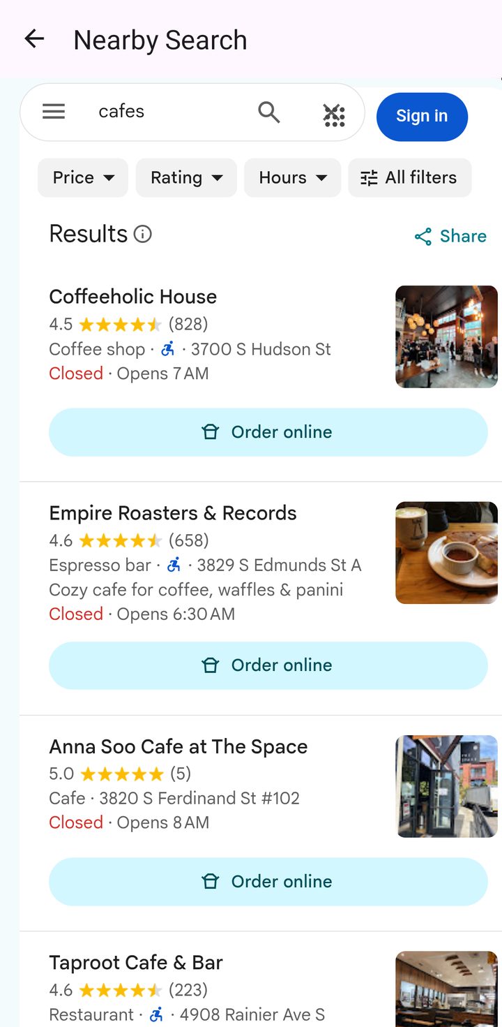
Tap your position and see what is around you on the route, such as cafes, restaurants, parks and sights, then open it in Google Maps. It is a handy way to plan the next stop on your virtual trip, or a real one.

Nearby Search results for cafes in US West Walk Nomad

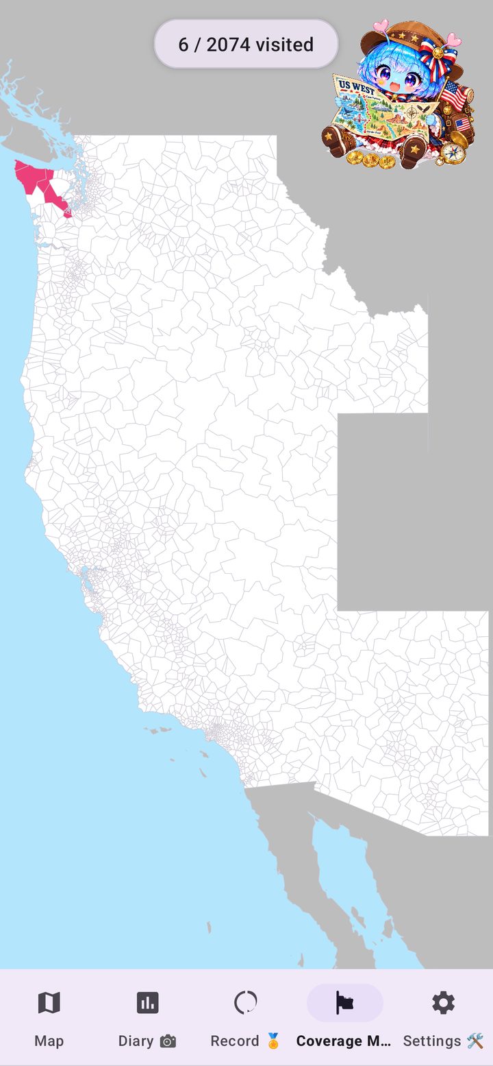
Colour in the whole map

The Coverage Map fills in every local area you have visited. Track how much of the West you have covered, and earn badges for every state you cross, then for the whole West.

Coverage Map of the US with visited areas coloured in, in US West Walk Nomad

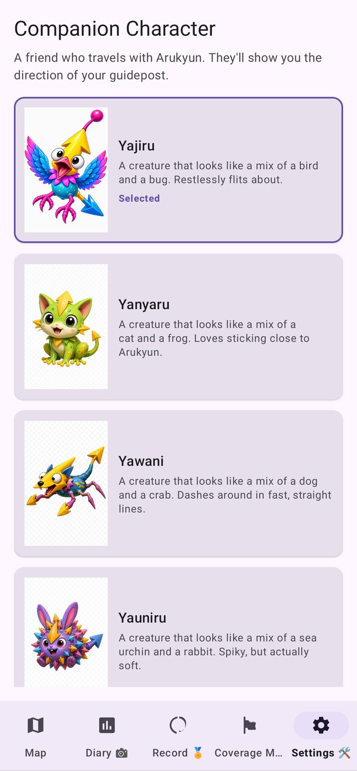
Pick your travelling companion

Choose who guides your way: Yajiru, Yanyaru, Yawani, Yauniru and more. Drop a Guidepost anywhere on the map and your companion will point the way.

Companion Character screen in US West Walk Nomad

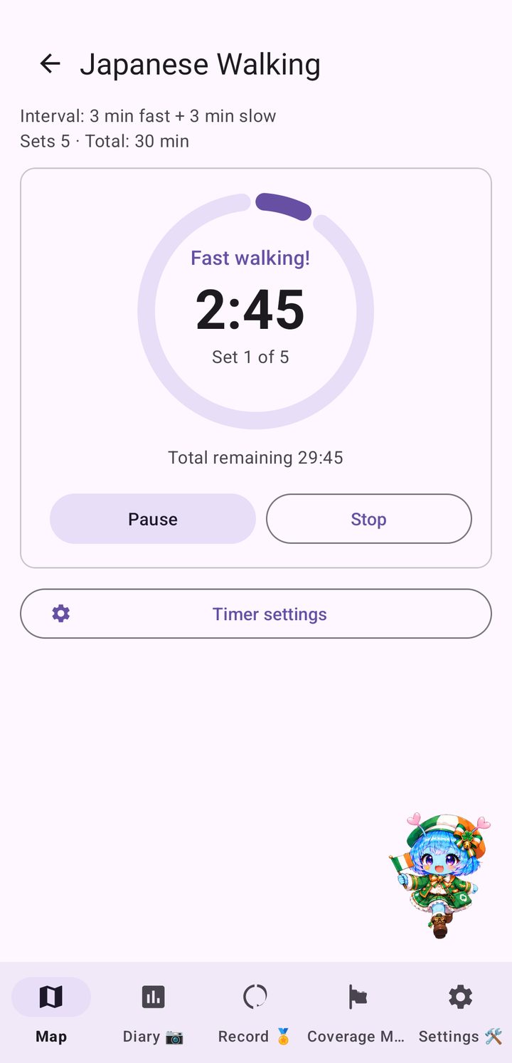
Japanese Walking interval timer

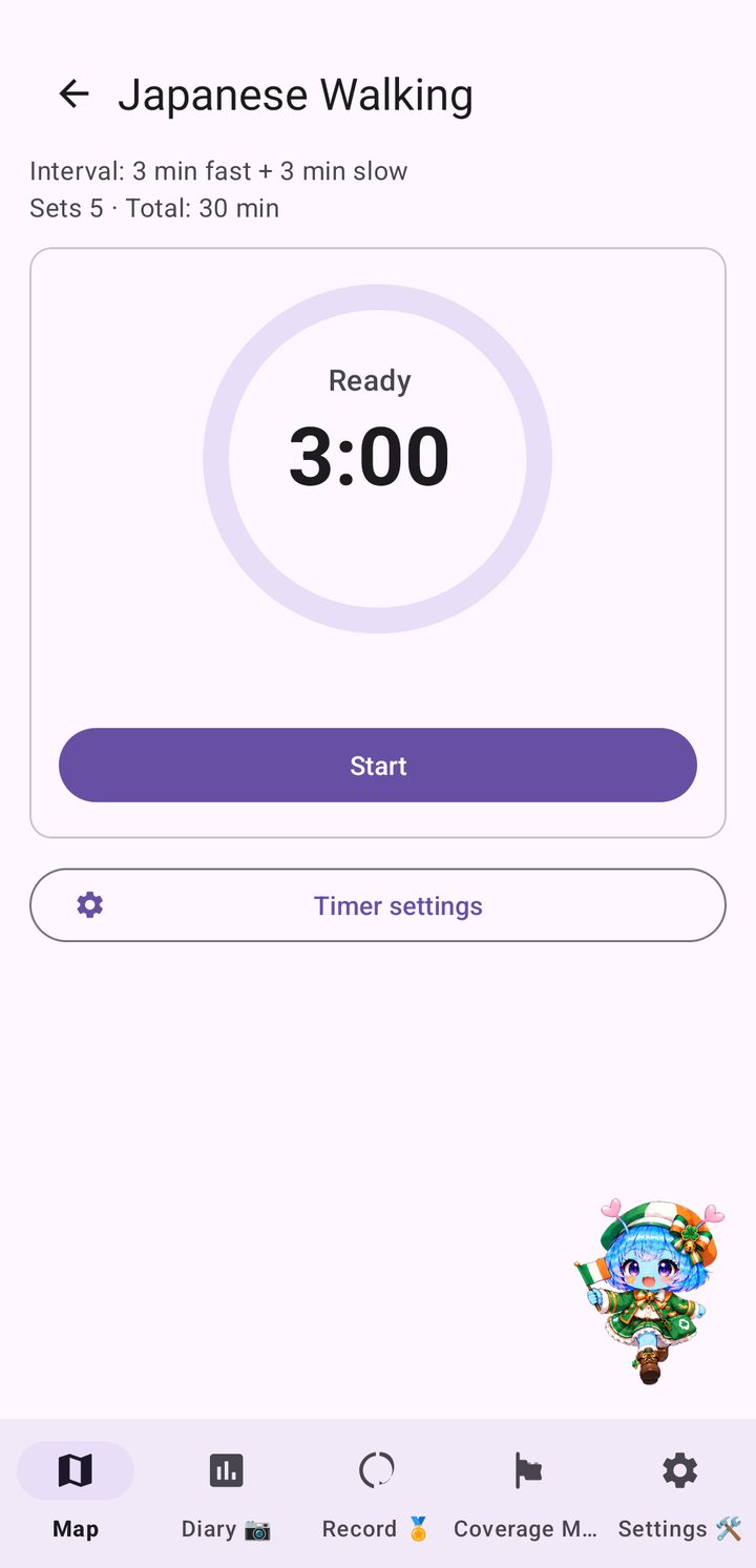
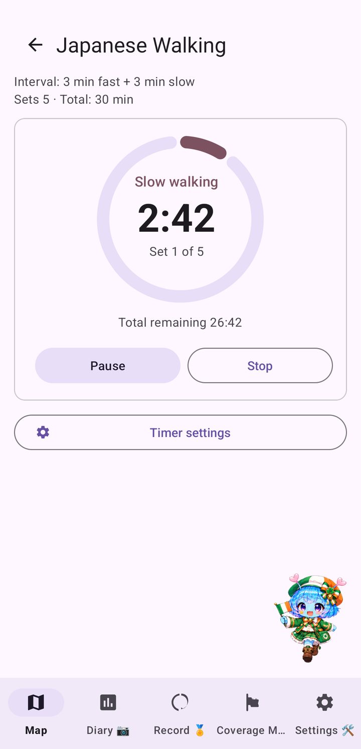
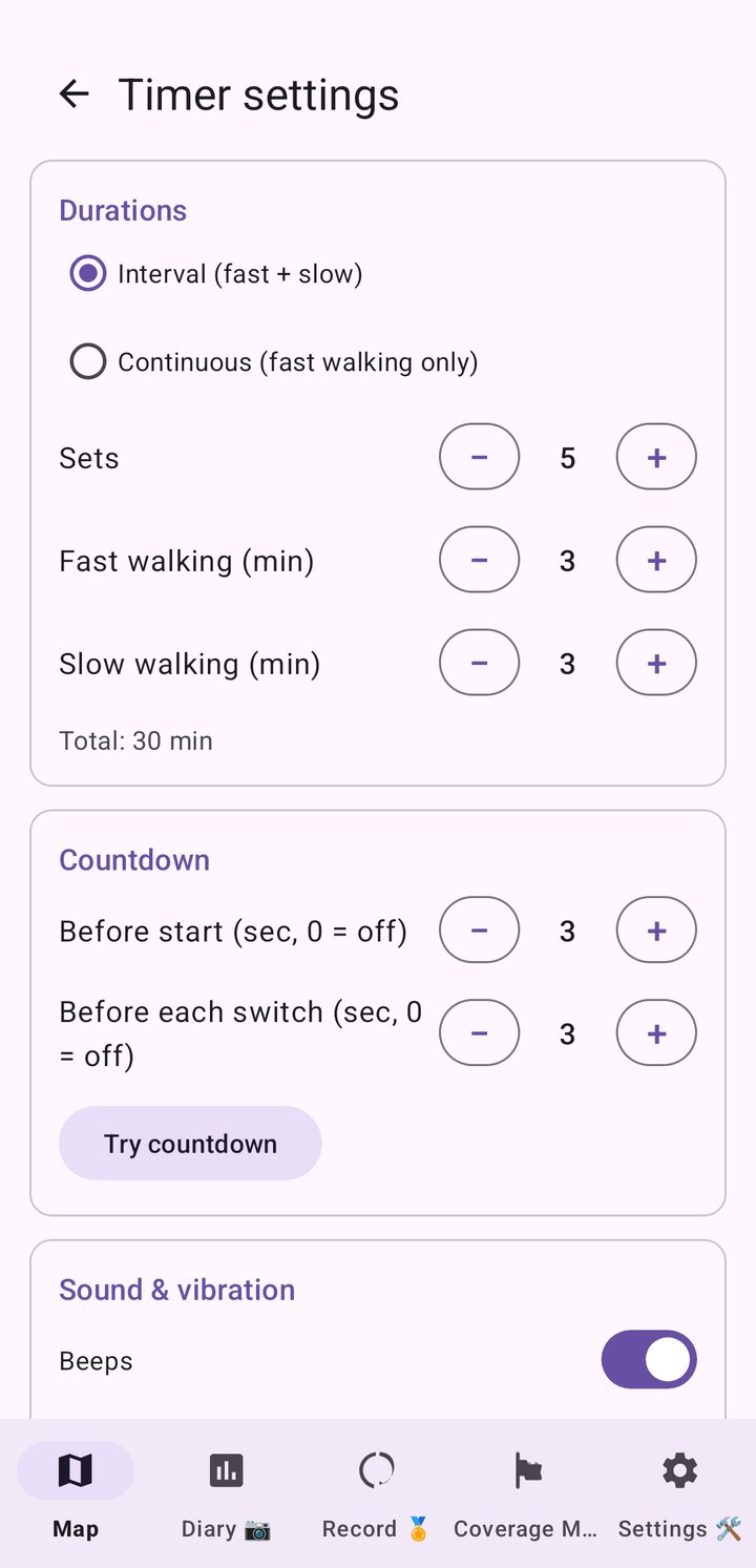
Japanese Walking is an interval walking routine: three minutes of fast walking, then three minutes of slow walking, repeated for a few sets. The built-in timer gives you a 3-2-1 countdown, a tempo beat while you speed up and a heads-up before each switch, and it keeps running with the screen off.

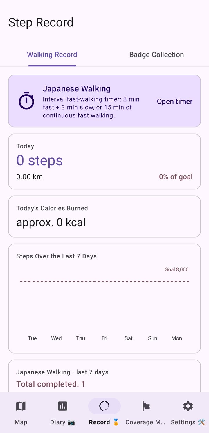
After each fast segment it compares your real step count with your target tempo, and a card in the Record tab shows the days you completed a session. Open it from the travel map or the Record tab. This is not medical advice: walk at a pace that suits your health.

Japanese Walking timer during a fast-walking segment with the countdown and set progress
Space NeedleOlympic National ParkMount RainierMount St. HelensCrater LakeRedwood National ParkGolden Gate BridgeAlcatrazYosemiteBig SurHollywoodLas Vegas StripHoover DamDeath ValleyGrand CanyonSan Diego Zoo…and more along the way
Who it's for

One more reason to walk

Want to build a daily walking habit
Like keeping an eye on your step count
Need sightseeing to keep you motivated
Love travel, maps and American landscapes
Pricing

Free to explore the Pacific Northwest, one upgrade for the whole route

Start your journey for free in the Pacific Northwest, where the route begins. When you are ready to walk on down the coast to San Diego, switch to the full route with a single purchase.

Free Edition

$0
  • Travel freely north of latitude 42.0, including Washington, Oregon and Idaho
  • Core features: step-based travel, badges and the Coverage Map
  • Local comments from Arukyun
  • No ads, no sign-up
Full route

Switch to the full route

$6.90 one-time purchase
  • Unlocks the rest of the route, all the way to San Diego
  • Includes Nearby Search and the full badge collection
  • One-time purchase, no subscription
  • No additional charges

Prices are shown in USD and may vary slightly by region and exchange rate on Google Play.

FAQ

Questions and answers

What is Japanese Walking?

It is an interval walking timer built into the app: 3 minutes of fast walking and 3 minutes of slow walking, repeated for several sets, or 15 minutes of continuous fast walking. You can change the number of sets, the durations, the countdown and the tempo sound in the timer settings, and the timer keeps running with the screen off. It is included at no extra charge.

Does US West Walk Nomad track my location?

No. Your position on the map is worked out from your step count, not from GPS. The app reads steps through Health Connect and moves you along the map by the distance you have walked. See How Health Connect works and your privacy for details.

Which phones does it work on?

US West Walk Nomad is an Android app. It needs Health Connect to read steps recorded by your phone or wearable.

What is the route?

Lap 1 runs southbound from Cape Flattery in Washington, the northwesternmost point of the contiguous United States, to the Mexican border near San Diego, across Washington, Oregon, California, Nevada, Idaho and Arizona. You choose your own path by tapping the map within the distance your steps allow, whether that is along the Pacific coast, through the Cascades and the Sierra Nevada, or across the desert. After the goal you turn around and start a new lap north.

How much does it cost?

The app is free to download, and the free edition lets you travel north of latitude 42.0, covering the Pacific Northwest including Washington, Oregon and Idaho. Switching to the full route is a one-time purchase of US$6.90, with no subscription.

Can I use miles or kilometres?

Distances are shown in miles by default. You can switch between miles and kilometres in Settings.

Are there ads or an account to create?

No ads and no sign-up are needed to use the app.

Is there a version for other regions?

Yes. See all Walk Nomad apps, including US East Walk Nomad, Japan, UK, Ireland, Italy and Korea.

Your trip down the West Coast starts with today's first step.

Install US West Walk Nomad and start walking from Cape Flattery.

Get it on Google Play